
Shade studies, turf health, and course intelligence — all from one flight.
Stop guessing. Start measuring. Grow better turf, spend less doing it.
Sample course · direct sun-hours, summer solstice
Aetheris is course intelligence for golf. We fly your course, measure the things that decide its health and its bottom line — sunlight, turf, water, terrain — and give your team the data to act. Shade analysis, turf-health monitoring, course-management software, greens books, and revenue tools, built for superintendents, managers, and head pros who'd rather know than guess.
The data that settles the tree debate.
Survey-grade sunlight studies — the modern way to plan your trees.


Which greens are starved for light — and which trees are casting the shade? We answer both, green by green and tree by tree. It's the objective data to defend a tree-removal decision to your board, target the removals that give back the most sun, and budget next season's renovation on numbers instead of opinions.
- Hour-by-hour cast shadows and full-day sun hours, course-wide
- A daily-light budget for every green, by grass species
- Tree removals ranked by the sun they give back

Your course, measured to the inch.
The blueprint every decision starts from.
Atlas is the survey-grade base map of your whole course: the aerial map, every feature drawn, contours and drainage flow — delivered as print-ready sheets and live map layers. Shade, turf and every future project start from the same measured blueprint.
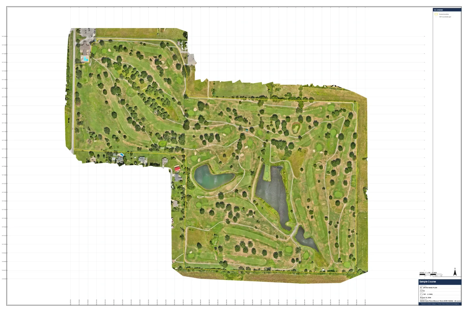
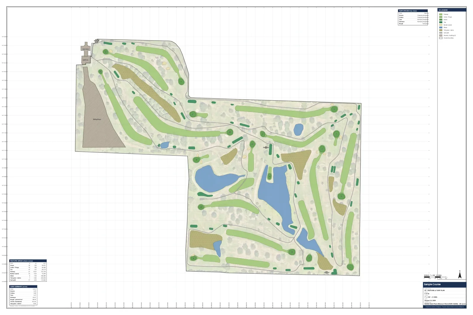
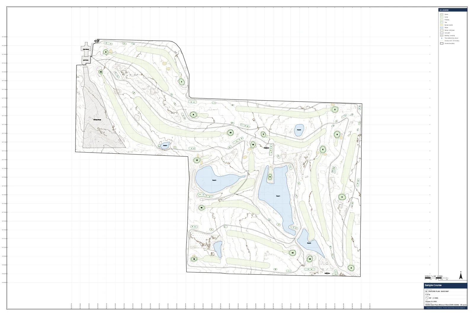
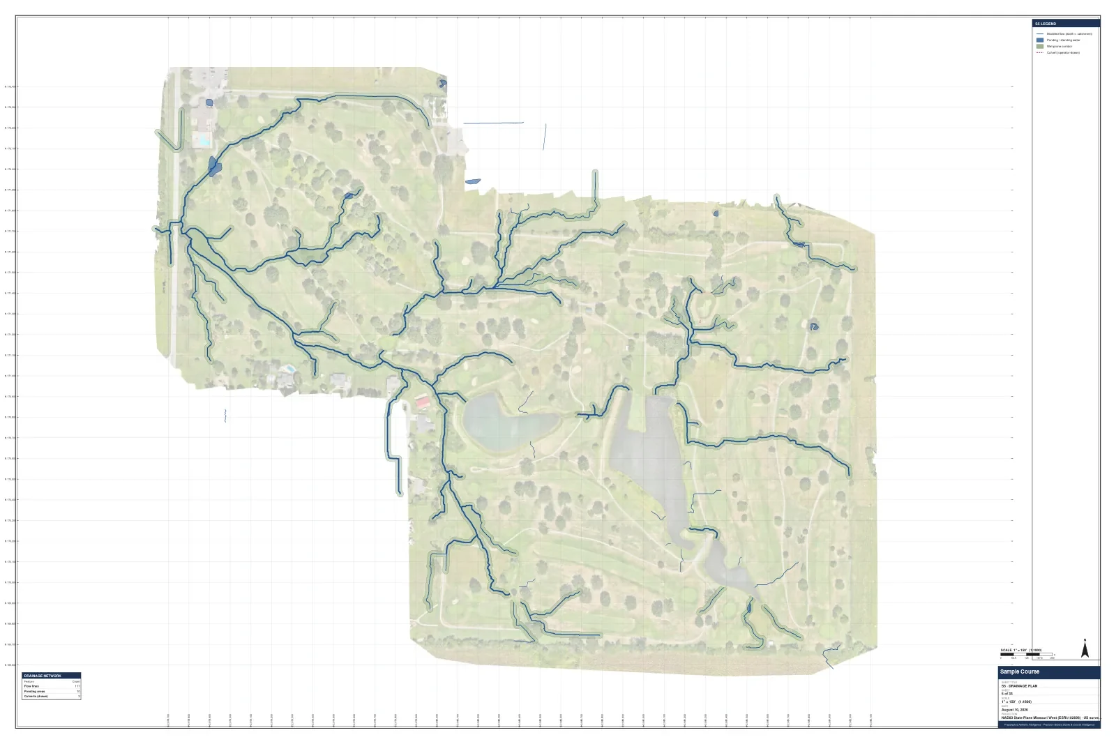
Your whole course, seen clearly. Every decision, backed by data.
Golf course management software that actually understands turf.
Cortex is the command center built on your survey: work orders, zone scheduling, spray and fertilizer records, alerts and a monthly board report — all laid over your actual course, not a generic map.
Screen recording · the 3D course with the shade and aerial layers.
Catch stress before it shows. Water only where it's needed.
Thermal flights show where turf is running hot and dry. Multispectral captures add plant-health bands a normal camera can't see. Drainage mapping shows where water collects and where it runs off — and Cortex keeps your irrigation zones, soil samples and problem areas in one place.
Heat and dry-down
Radiometric thermal flights map surface temperature across greens, tees and fairways.
Plant-health bands
Multispectral captures measure the light turf reflects beyond what the eye sees.
Water where it's needed
Irrigation zones, soil samples and problem areas tracked on your measured course map.
Tournament-grade guides that pay for themselves in the pro shop.
Every hole and green drawn from our own survey — yardages, slope, contours and fall-lines — printed pocket-size and sold in your pro shop. Each hole's QR code opens its green in 3D.
The big book vendors map from old satellite, accurate to a few meters.We survey your course to the centimeter.


Run your course like a top club — funded by local sponsors.
Local businesses sponsor holes in your greens book and on your digital tour. Every scan and click is tracked, so sponsors see what they get — and the program helps fund the technology your course runs on.
Local sponsors sign on
Hole sponsorships in the printed greens book and on the online tour.
Golfers scan and click
QR codes on sponsored pages and the tour's ad band link golfers straight to each sponsor.
Everyone sees the return
Scans and clicks are reported per sponsor, per hole.
Your course, shown off. Bookings, driven home.
Cinematic flythroughs and interactive tours — built from real drone data.
Hole-by-hole flyovers, yardages and tips that members and visitors can explore on any phone — with booking a tap away.
See a live interactive tour